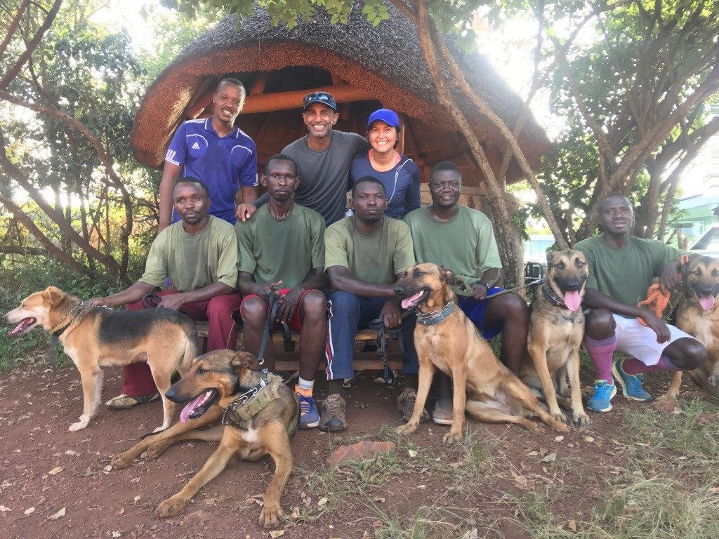
Rajiv Louis of Keelback Consulting discusses technology's increasing importance in Asia Pacific conservation initiatives.
Rajiv Louis: The potential for satellite imaging and big data analysis is enormous. Every day, satellites capture a massive quantity of data about the Earth. This data can be used to track land use, research crop yields, and forecast future weather patterns. In the last decade, big data analysis has been used to map a range of conservation projects, including deforestation, illicit logging, and poaching, using data from satellite photography and other sources. Several firms have developed algorithms to convert satellite data into useful information in recent years. These algorithms, in many situations, evaluate vast volumes of high-resolution photos to identify factors like plant health and soil moisture content.

